Plant Counting System
Plant Counting System
Learn more about how the Plant Counting System works
Get an overview of crop establishment
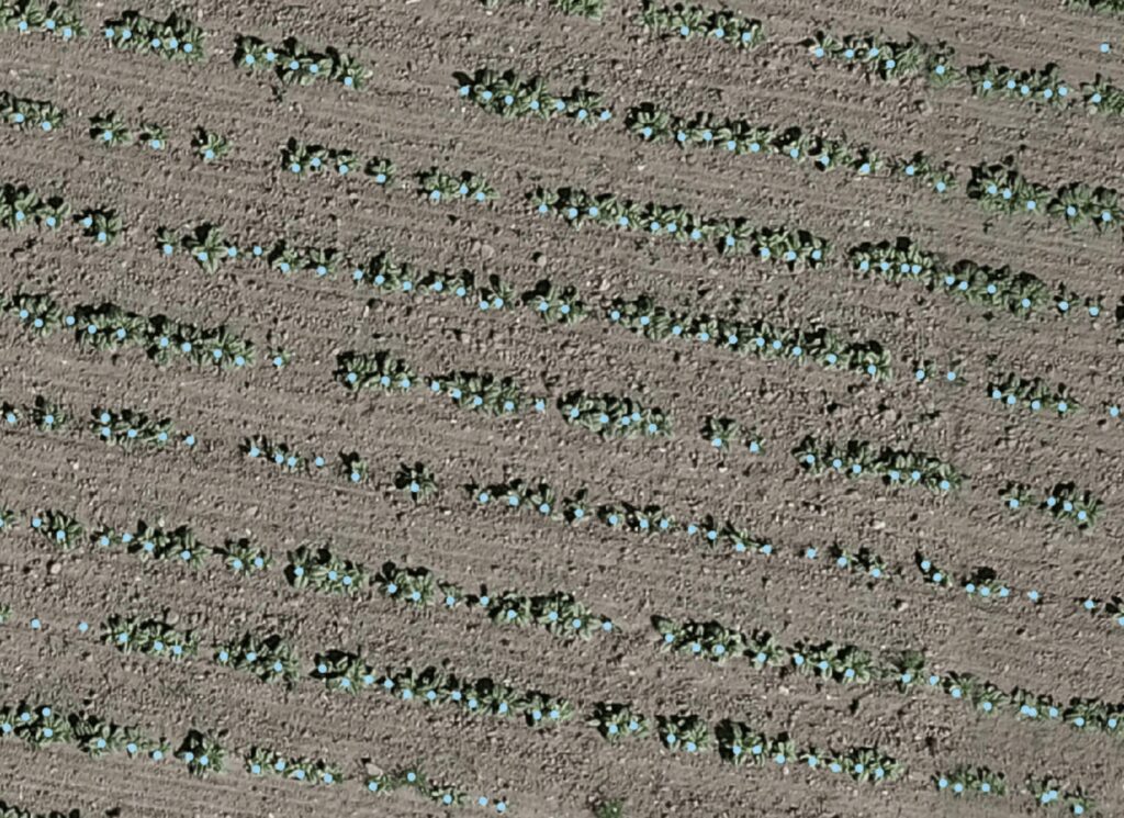
Where are plants growing close together, and where are there gaps? CropUp can automatically count plants in drone images and show variations in plant density across the field.
HOW IT WORKS
From multispectral images to prescription maps

Capture images
Capture suitable drone images when the plants can be visually distinguished.

Upload images
Upload the images to CropUp.

Count plants
The plant count analyzes the images and estimates plant density and variation across the field.
Get an overview
Use the results to get an overview of plant density and variation.
WHEN DOES IT MAKE SENSE?
When you want to assess crop establishment early
Especially during early establishment, when you want to check emergence, missing plants, or weak areas before deciding whether follow-up is needed.
POTENTIAL APPLICATIONS
What you can use the map for
- See variations in plant counts and plants per m²
- Find areas with poor emergence
- Support assessments of whether follow-up or possible spot reseeding is needed