NDVI Variable-Rate Application Tool
NDVI Variable-Rate Application Tool
Learn more about how the NDVI variable-rate application tool works
See the variations. Adjust your application rates.
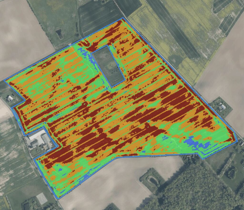
Use multispectral drone imagery to get a detailed picture of crop variability. CropUp’s NDVI variable-rate application tool helps turn vegetation differences into zones and application maps.
HOW IT WORKS
From multispectral imagery to application maps

Capture imagery
Capture multispectral drone imagery of the field.

Work with NDVI values
Upload the imagery and work with NDVI values and thresholds.

Define thresholds
Work with NDVI values and thresholds to divide the field into relevant zones.
Create application maps
Evaluate the zones using your expertise and generate a variable-rate application map.
WHEN DOES IT MAKE SENSE?
When crop variability can inform action
When crop variability matters for decisions about fertilizer, fungicides, or other relevant variable-rate treatments.
POSSIBLE USES
What you can use the map for
- See differences in crop development in high detail
- Divide the field into zones based on selected thresholds
- Create variable-rate application maps