Manual Measurement Tools
Manual Measurement Tools
Learn more about how Manual Measurement Tools work
Measure and document directly on the field map
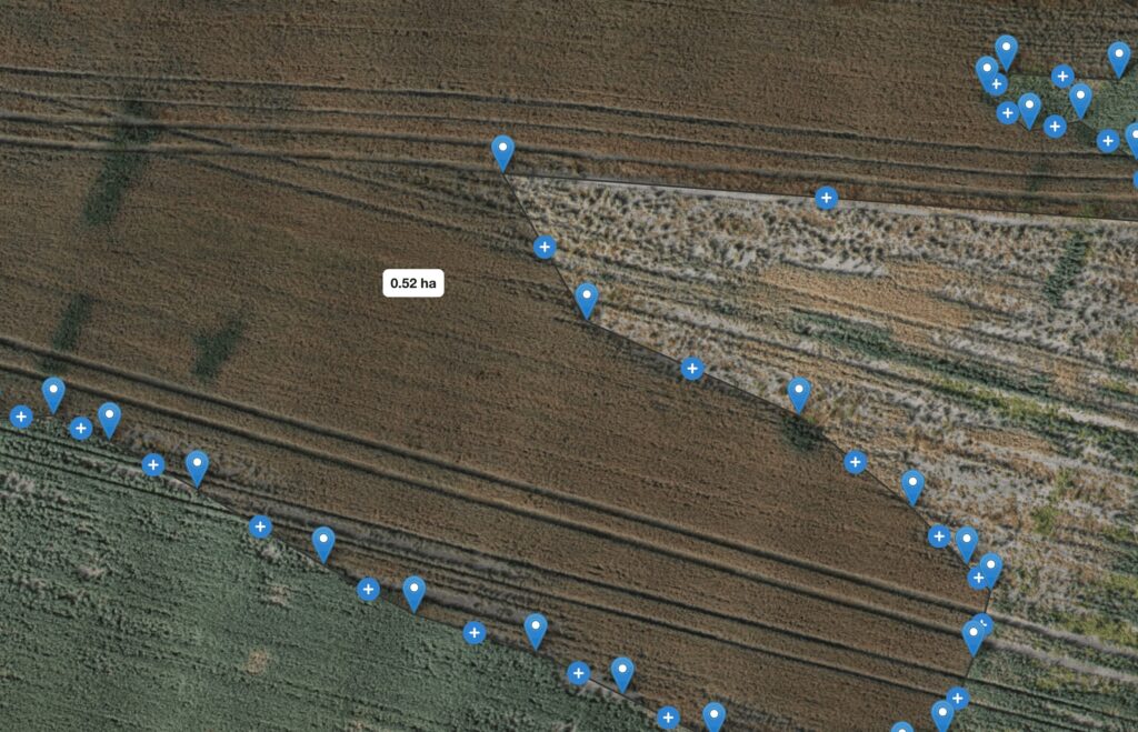
Sometimes the most important thing is being able to show exactly how large an area is or how far apart two points are. With CropUp’s manual measurement tools, you can measure directly on drone maps.
HOW IT WORKS
From drone map to precise measurements
Open a drone map
Open an RGB or multispectral drone map in CropUp.
Mark areas
Mark relevant points or areas on the map.
Take measurements
Use the tools to measure distances and areas.
Use the results
Use the measurements as documentation or to support decision-making.
WHEN DOES IT MAKE SENSE?
When you need to document or define an area
When you need to document damage or drought impact, define a problem area, or follow up on a specific observation.
POSSIBLE USES
What you can use the map for
- Measure areas and distances
- Document and compare defined areas
- Support discussions with advisors and other relevant parties