


Drone Mapping
Drone Mapping
Learn more about the different drone surveying products we offer at CropUp
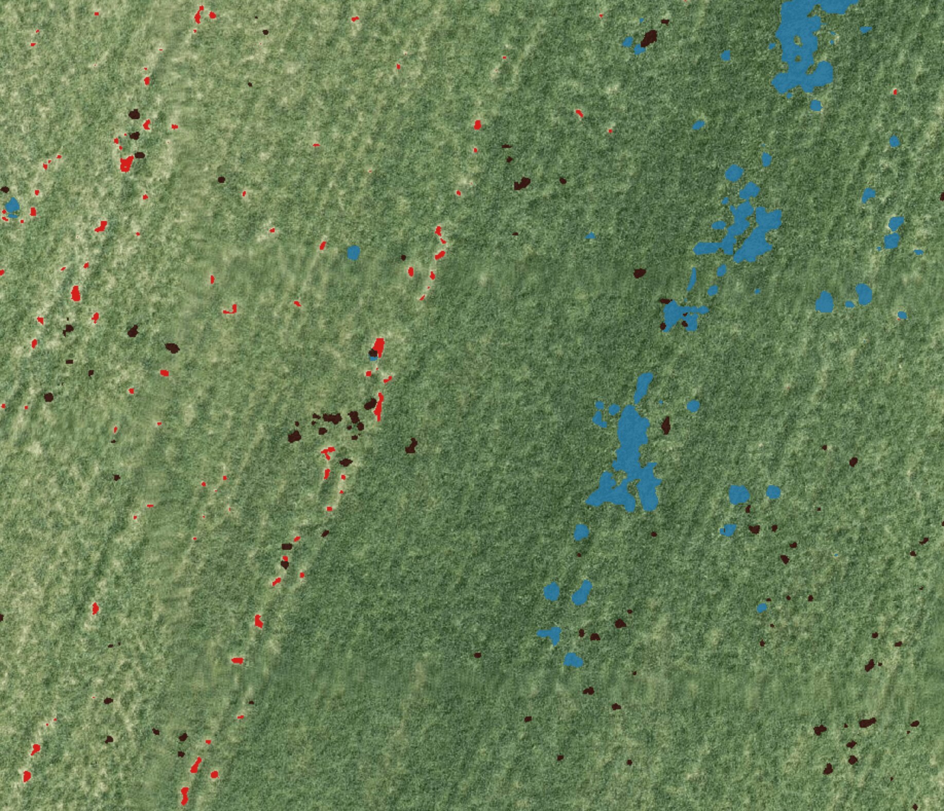
AI weed mapping
Identify weeds in drone imagery and create machine-ready maps for targeted herbicide application.
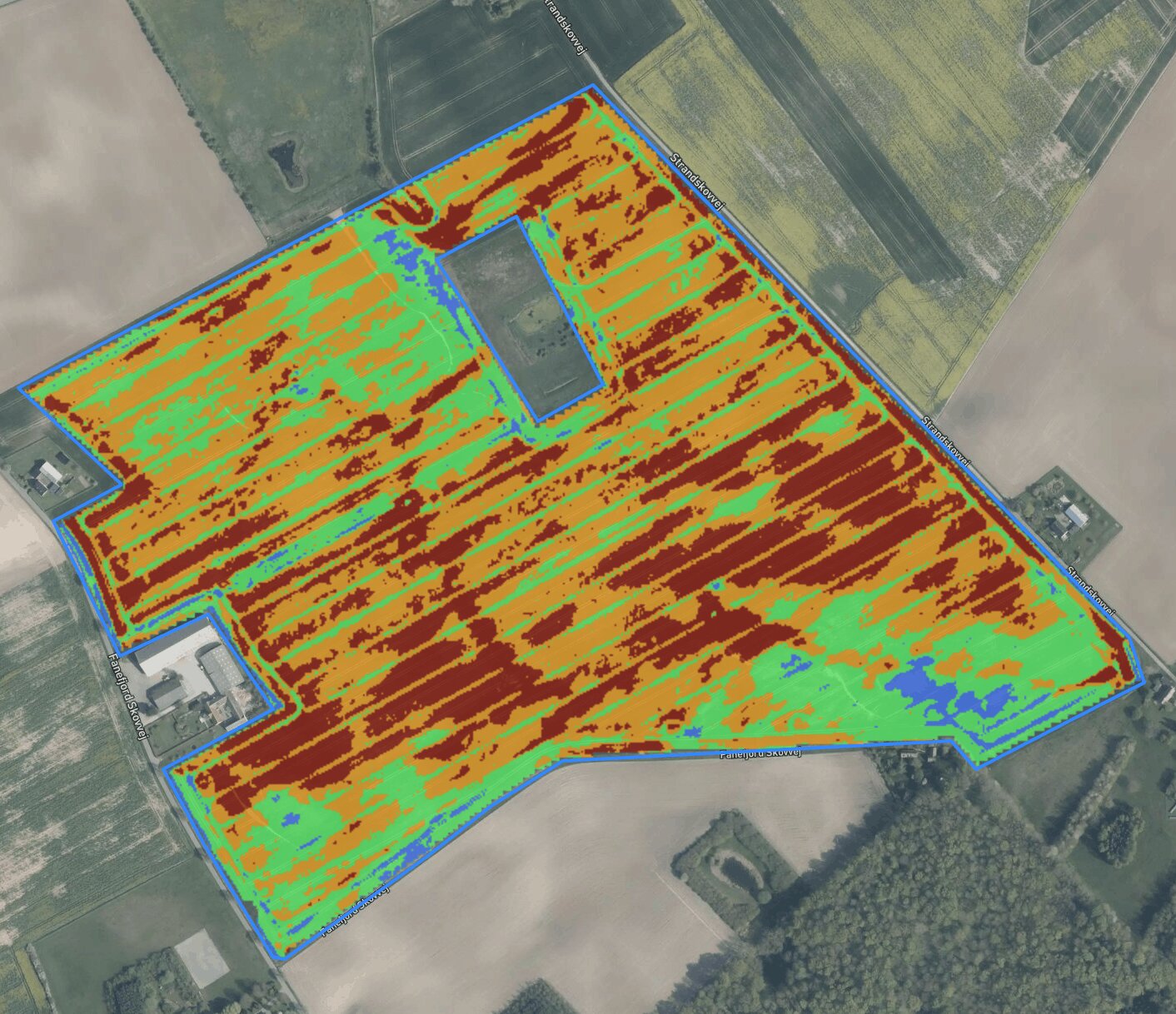
NDVI variable-rate tool
Use detailed drone-based vegetation data to divide fields into zones and create variable-rate application maps.
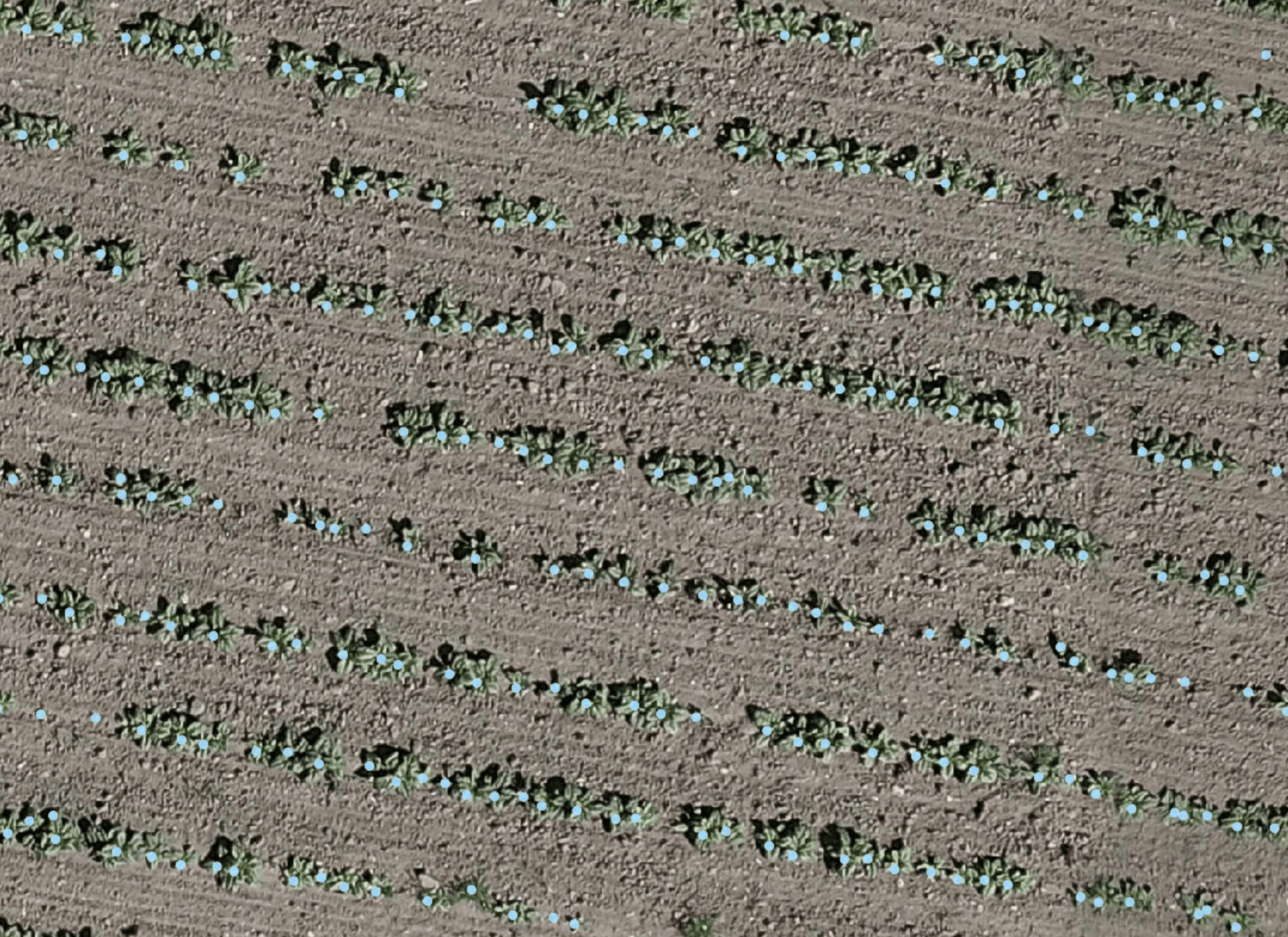
Plant counting system
Get an overview of plant counts and uneven emergence—even in parts of the field you don’t have time to count manually.
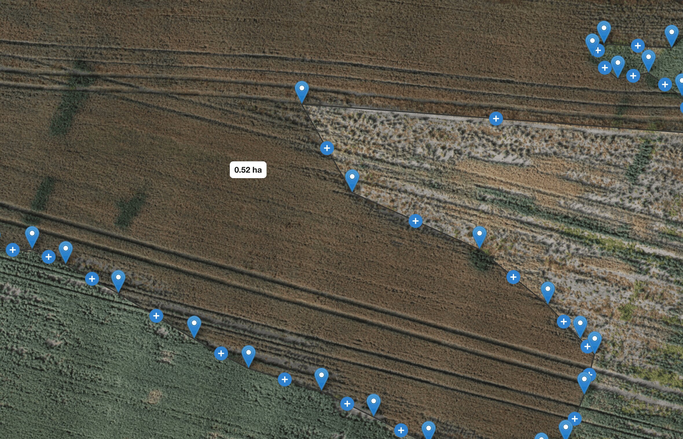
Manual measurement tools
Measure distances and areas on drone maps, and document conditions you want to follow up on.