

For advisors and drone pilots
For advisors and drone pilots
Get more from your data—and turn it into tangible value for farmers.
Turn your field data into actionable advice
Support farmers every step of the way, from data collection to decision-making and machine-ready maps. With CropUp, you can offer mapping and analysis services that make your expertise even more valuable in the field.
FOR ADVISORS AND DRONE PILOTS
What you get with CropUp
More services to offer
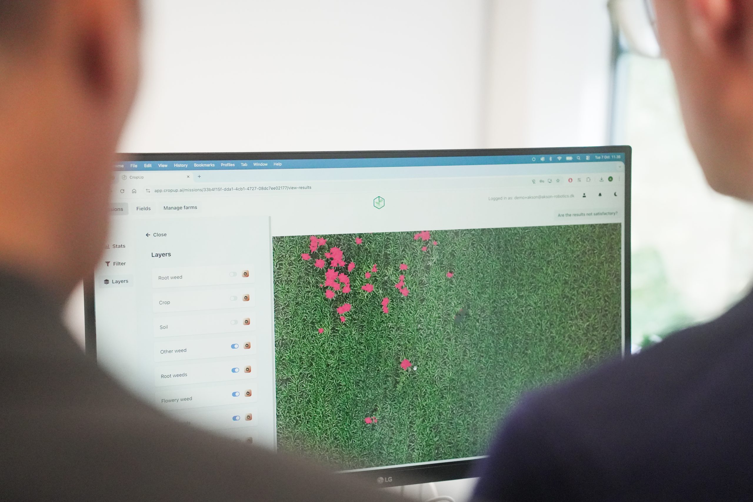
Offer weed maps, vegetation maps, plant counts, and documentation.
A simpler workflow
Go from drone imagery to maps your customers can put to work.
A stronger basis for discussion
Show variations visually and follow up with targeted recommendations.
WHAT CAN YOU OFFER YOUR CUSTOMERS?
Choose the solution that fits the task
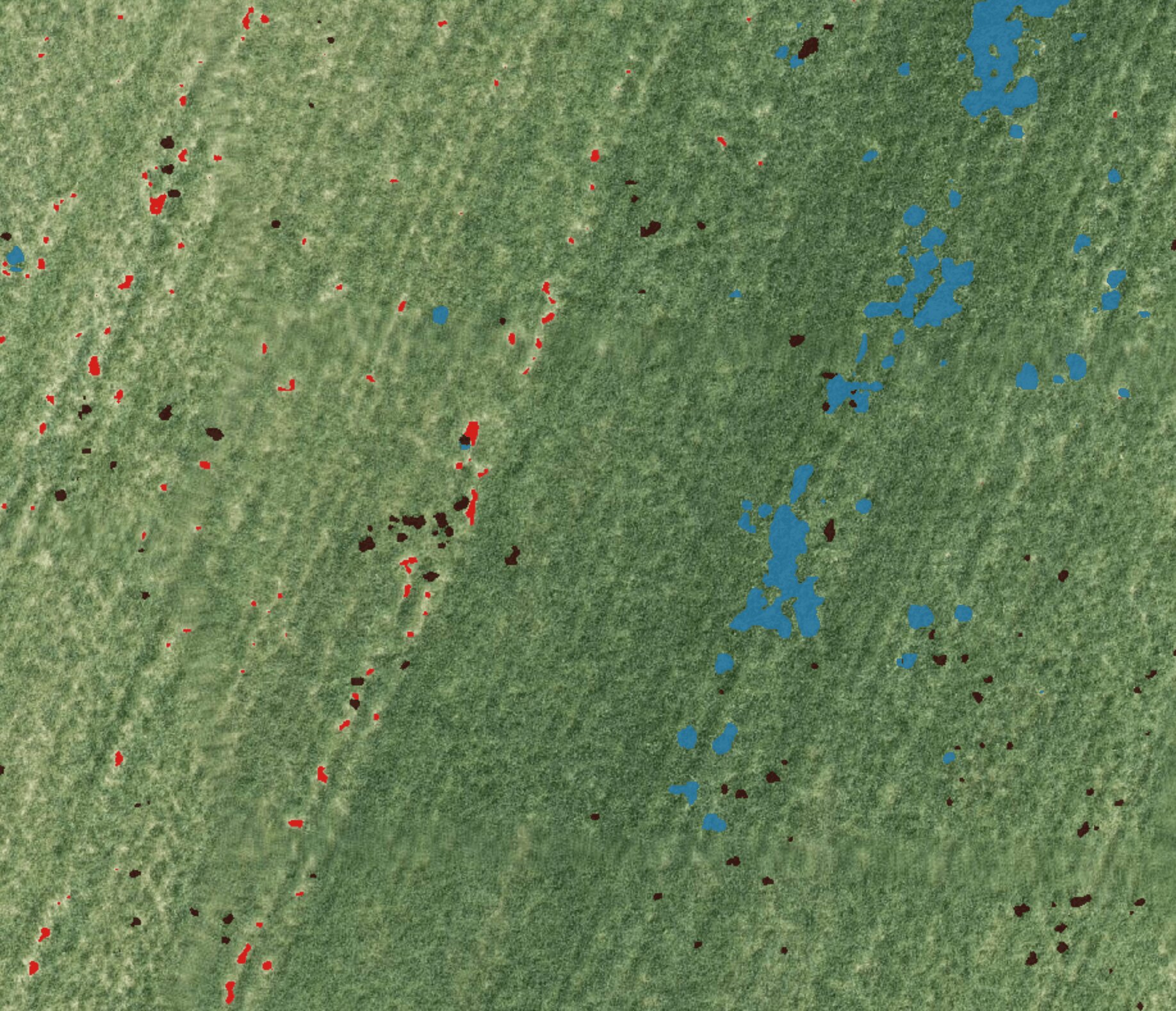
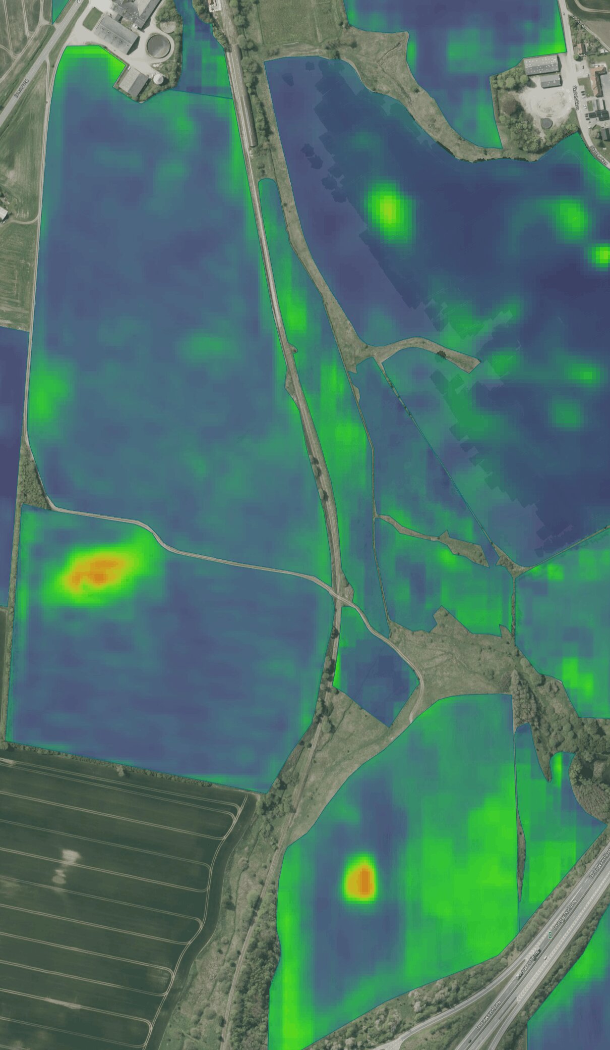
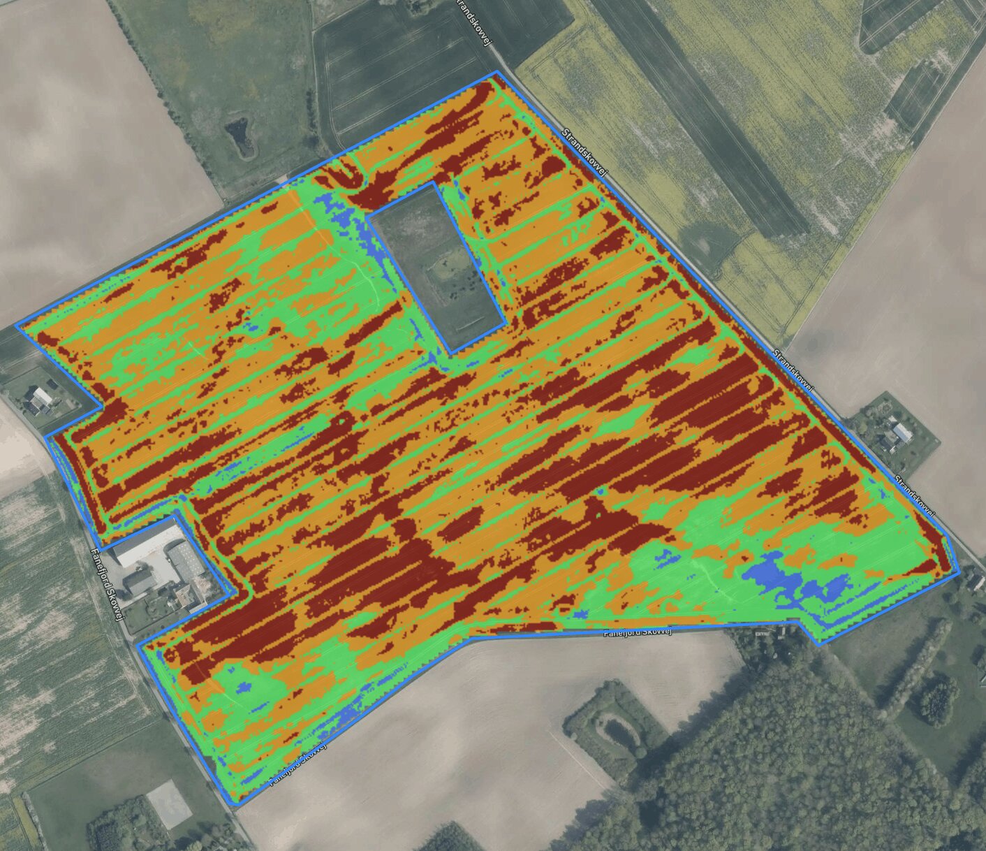
AI Satellite Forecast
Use predicted risk zones as a basis for VRA, scouting, and prioritizing mapping.
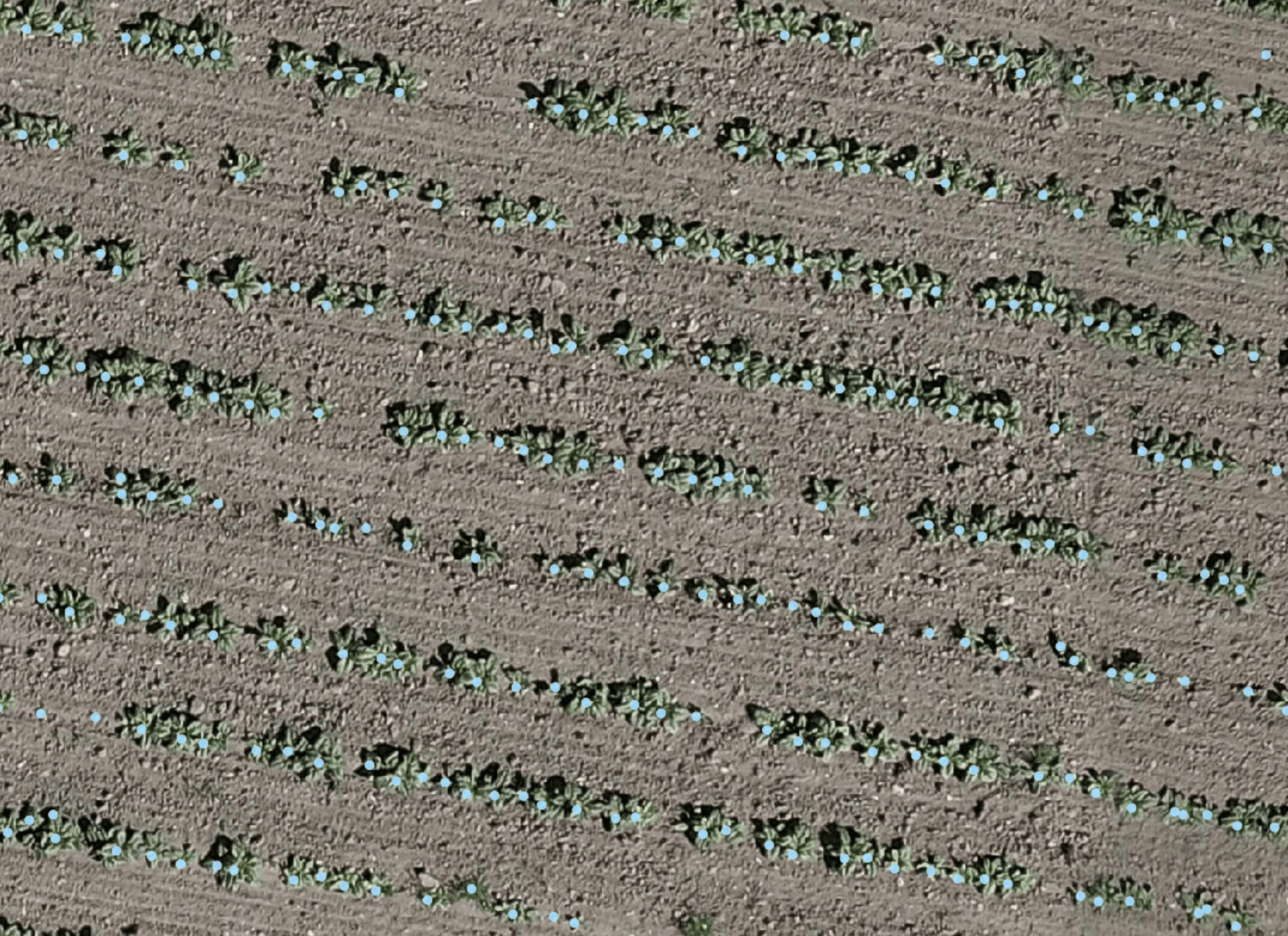
Plant counting system
Document variations in crop establishment and plant counts.
HOW TO WORK WITH CROPUP
From flight to deliverable
1
Plan your flight
2
Capture your own images
3
Upload to CropUp
4
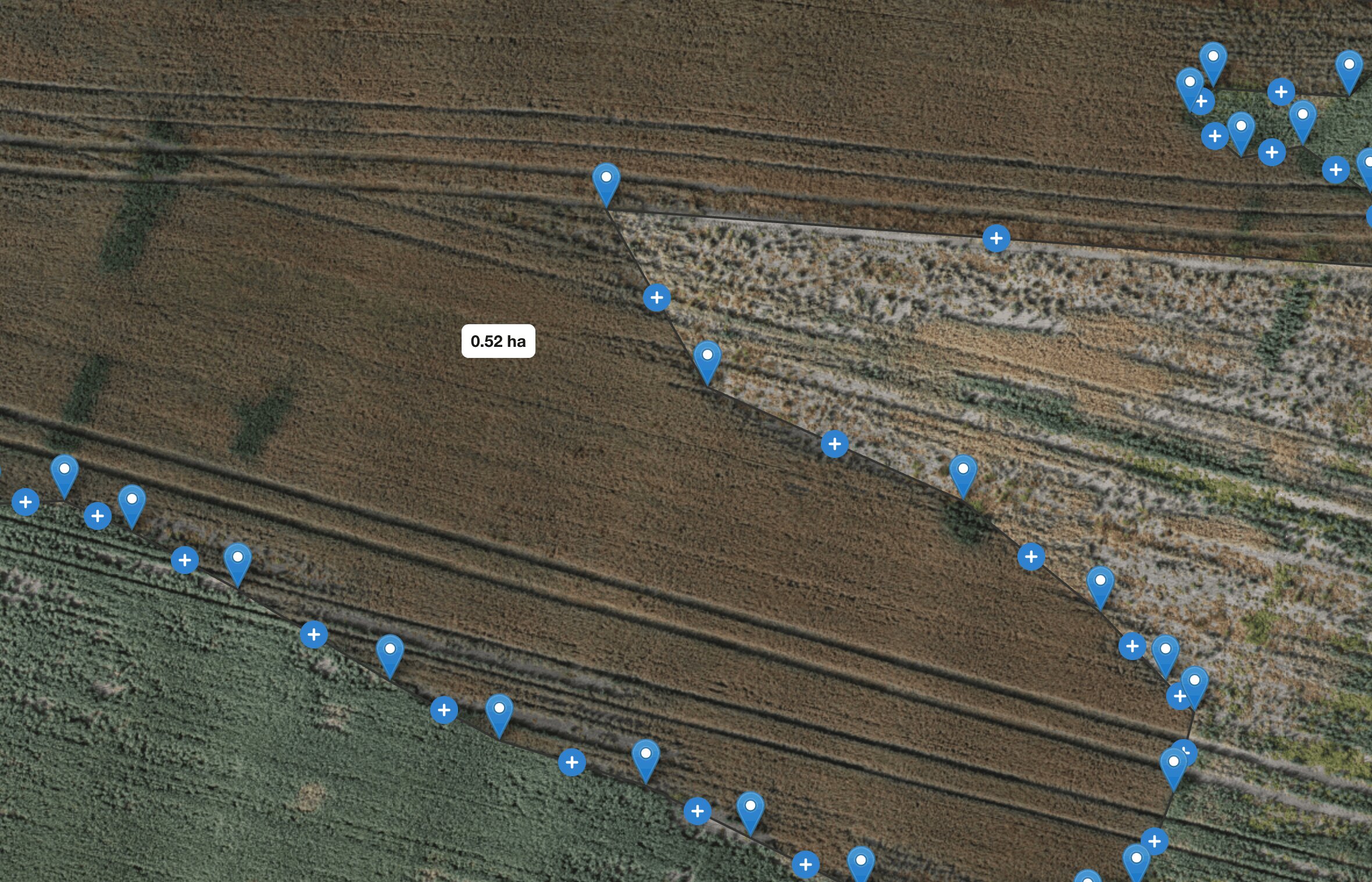
Choose an analysis and view the map
Become a CropUp partner
Offer more with the data you already collect