The Challenge
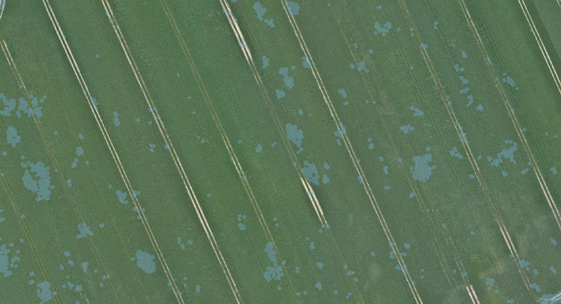
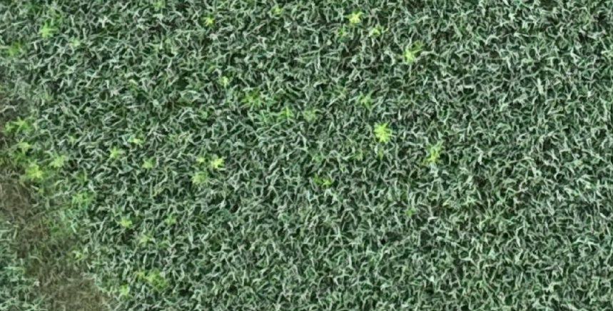
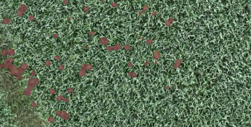
This case involves a wheat field of approximately 17 hectares, where thistles were the primary challenge. They knew that the thistles were spread across the field, but without precise data, it was difficult to determine where to spray. To ensure the most effective and gentle treatment possible, CropUp was used to identify and map exactly where the thistles were present. The goal was to avoid unnecessary chemicals and optimize the spraying effort for a more sustainable and economical solution.


The Solution
Mapping with drones
The field was flown over by a drone, which collected high-resolution images of the approximately. 17 hectares
Analysis with AI
CropUp's advanced AI analyzed the images and identified weeds with high precision
Adjustment of spray map
The results were reviewed, and the spray map was adjusted to ensure the treatment would hit precisely without waste
Export and treatment
The final spray map was exported to the sprayer, which then performed targeted spot spraying
Results
Reduction of herbicide
89%
Spray mixture used for 17HA
359L
Conclusion
By using CropUp to map thistles in the wheat field, it was possible to precisely identify where spraying was necessary.
The analysis showed that the weeds were only spread over 1.80 hectares, resulting in a chemical saving of 89% compared to full spraying.
This targeted approach significantly reduces chemical usage, lowers costs, and ensures a gentler treatment of the crop.
This case demonstrates how CropUp technology can reduce chemical usage while helping farmers optimize field management – benefiting both the economy and the environment.